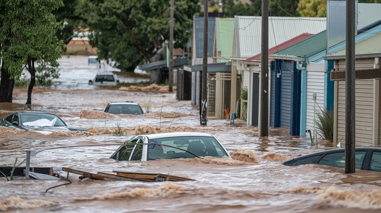
Queensland is bracing for the return of ex-tropical cyclone Ellie as heavy rainfall and wild weather continues to head east across Australia. Bureau of Meterology Dean Narramore warns Queenslanders to expect widespread rain and thunderstorms especially in the north tropical coastal areas of Cairns, Port Douglas and Townsville.
The remnants of the former tropical cyclone Ellie are approaching Queensland, and residents are being advised to prepare for them. Ellie, which just caused havoc in Western Australia, is lingering over the Northern Territory. Overnight rainfall of 80 to 100 millimetres filled the Todd River in Alice Springs, which is normally dry.
According to Dean Narramore of the Bureau of Meteorology, the residue of the system will travel to Queensland in the next days, bringing heavy rain and thunderstorms to the state’s northern, central, and eastern regions.
The tropical north, which includes Cairns and the Gulf of Carpentaria, as well as Longreach and perhaps Mackay, will be the major focus of the weather activity. Narramore predicted that this region would receive 50 to 100 mm of rain, with isolated coastal rains of up to 200 mm likely. While this is happening, Victoria is in a quite different situation because the state is likely to experience a heatwave and high temperatures, it is going to be hot Jen Turner. Narramore predicted that regions of Victoria, notably those near the Murray River, would experience temperatures in the upper 30C to low 40C range.
Full heatwave conditions could develop across Victoria, South Australia, and Western Australia by the end of the week.


